- English
Languages:
This site is created using Wikimapia data. Wikimapia is an open-content collaborative map project contributed by volunteers around the world. It contains information about 32605254 places and counting.
Learn more about Wikimapia and cityguides.
Pala (Palai)
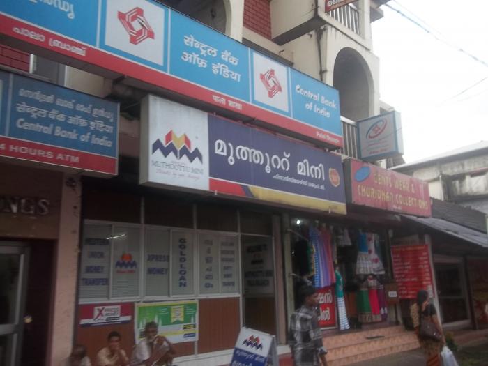
Pala (also written as Palai (Malayalam : പാലാ), is a municipal town in the eastern hilly areas of Kottayam district in the Indian state of Kerala. It is situated on the banks of the Meenachil River and is the headquarters of the Meenachil Taluk and the Pala Revenue Division. It is the main gateway to the southern high ranges. Located at 9.7° N 76.7° E, Pala is 56.7 meters above MSL. Nearby towns are Ponkunnam, Erattupetta, Thodupuzha, Ramapuram, Marangattupally, Uzhavoor, Kuravilangad, Ettumanoor and Kottayam. Pala is on the Main Eastern Highway ( Muvattupuzha - Pathanamthitta- Punalur Road / SH - 08 ).
Wikipedia article: http://en.wikipedia.org/wiki/Palai
Pala (Palai) on the map.
Recent city comments: